Loading...
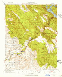
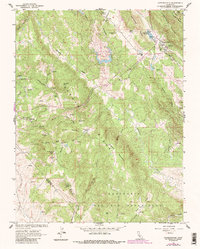
Loading map...1954 Map of Copperopolis
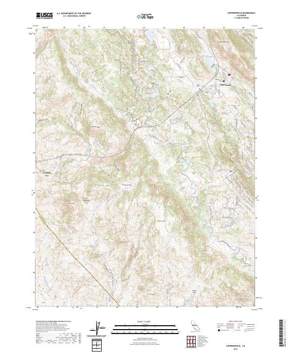
USGS Topo · Published 1956About this map
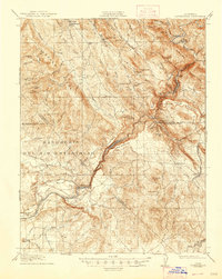
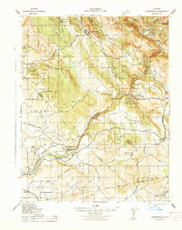
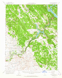
Copperopolis serves as a focal point for this mid-century survey of the foothills where Calaveras, Tuolumne, and Stanislaus Counties converge. The landscape is defined by the winding Stanislaus River and the industrial infrastructure of the Hetch Hetchy Aqueduct and Sierra Railroad. Historic mining activity is documented at the Napoleon Mine and Green Spring Mine, while the shifting local economy is visible in the presence of the Tulloch Reservoir and Goodwin Dam.
Find a feature on this map
93 named features on this map. Tap any name to fly to it.
Don’t see what you’re looking for? This feature index may not catch every label — zoom into the map to look around manually.
Map Details
Date Portrayed1954
Date Published1956
PublisherU.S. Geological Survey
Map TypeTopographic
Scale1:62500
Physical Dimensions16.6 x 20.8 inches
Editions of this 1954 Copperopolis Map
This is the sole edition of this map. No revisions or reprints were ever made.
Historical Maps of Knights Ferry Through Time
6 maps found
Featured Locations
- Copper Cove Subdivision, CA
- Copper Cove Village, CA
- Copperopolis, CA
- Telegraph City, CA
- The Shores of Poker Flat, CA
Source Details
SourceU.S. Geological Survey
CopyrightPublic Domain