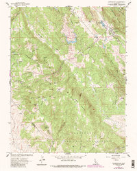
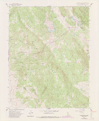
1962 Map of Copperopolis
USGS Topo · Published 1987About this map
Copper mining legacies define the landscape around Copperopolis, where the Empire Mine, South Shaft, and the Keystone Mine sit clustered near the Copperopolis Reservoir. This 1962 survey, updated with 1980s photographic revisions, documents a terrain of intense extraction along the Gopher Ridge Mountain corridor. To the west, the map records older settlement sites like Telegraph City and Buckham, alongside family-named landmarks such as McCarty Creek and Churchs Spring. The southern portion of the quadrangle is dominated by the sprawling boundary of Rancho Del Rio Estanislao, showing the transition from the concentrated mining district in the north to the large land grants and ranching flats near Smith Flat. Smaller, scattered operations like the Skyrocket Mine and Napoleon Mine illustrate the reach of the prospecting era across these foothills.
Find a feature on this map
66 named features on this map. Tap any name to fly to it.
Don’t see what you’re looking for? This feature index may not catch every label — zoom into the map to look around manually.
Map Details
Editions of this 1962 Copperopolis Map
5 editions found
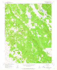
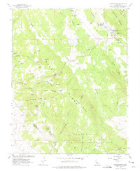
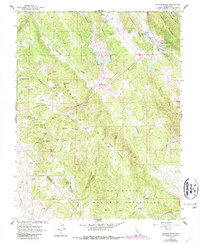
Other maps of this area

1889 · Jackson
USGS Topo · 1:125,000

1892 · Jackson
USGS Topo · 1:125,000

1897 · Jackson
USGS Topo · 1:125,000

1902 · Jackson
USGS Topo · 1:125,000

1915 · Oakdale
USGS Topo · 1:31,680

1916 · Bachelor Valley
USGS Topo · 1:31,680

1916 · Copperopolis
USGS Topo · 1:62,500

1942 · Farmington
USGS Topo · 1:62,500

1942 · Copperopolis
USGS Topo · 1:62,500

1944 · Valley Springs
USGS Topo · 1:62,500
Featured Places
- Telegraph City, CA
- Copper Cove Subdivision, CA
- Copper Cove Village, CA
- Copperopolis, CA
- Stanislaus County, CA