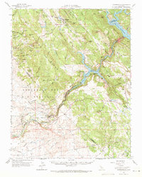
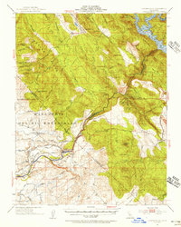
1962 Map of Copperopolis
USGS Topo · Published 1964About this map
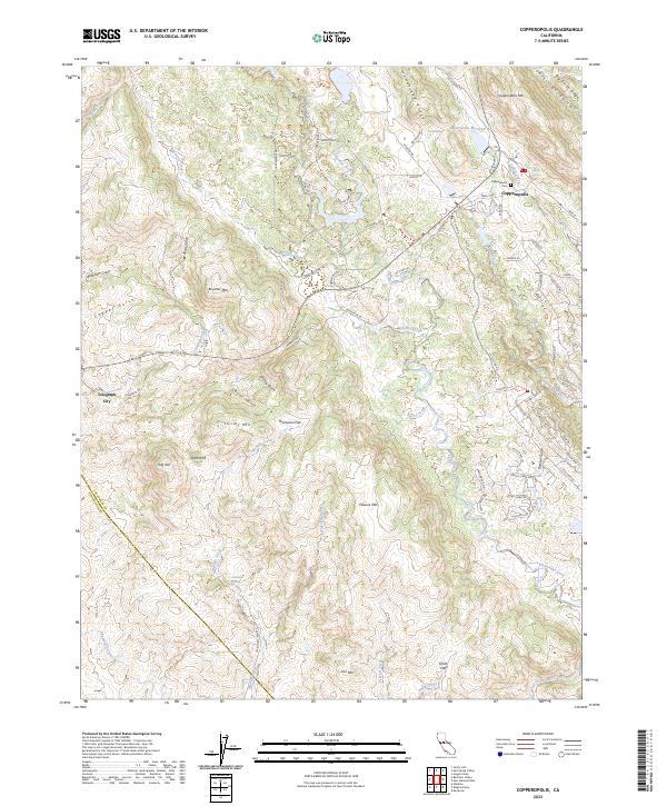
Copperopolis serves as the focal point of this Mother Lode landscape, surrounded by a legacy of hard-rock mining defined by the Skyrocket Mine and Quail Hill Mine. The area's transition from a mining frontier to a managed water and ranching region is visible through the expansive Rancho Del Estanislao and the infrastructure of the Hetch Hetchy Aqueduct. Significant water features like the Stanislaus River, Tulloch Lake, and Melones Reservoir dominate the eastern reaches, while the historic river crossing at Knights Ferry marks a vital connection point. The map also captures the path of the Sierra Railroad and numerous historic landmarks, including the O'Byrne Ferry Hist Mon, providing a detailed view of the industrial and transportation networks that shaped Calaveras and Tuolumne counties.
Find a feature on this map
120 named features on this map. Tap any name to fly to it.
Don’t see what you’re looking for? This feature index may not catch every label — zoom into the map to look around manually.
Map Details
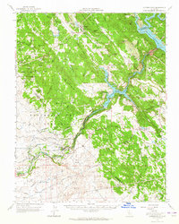
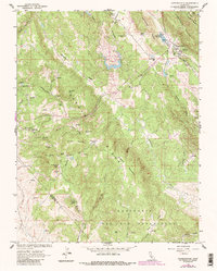
Editions of this 1962 Copperopolis Map
2 editions found
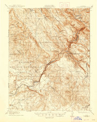
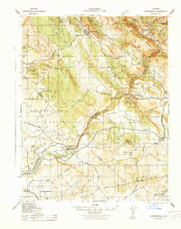
Historical Maps of Knights Ferry Through Time
6 maps found
Featured Locations
- Copper Cove Subdivision, CA
- Copper Cove Village, CA
- Copperopolis, CA
- Telegraph City, CA
- The Shores of Poker Flat, CA