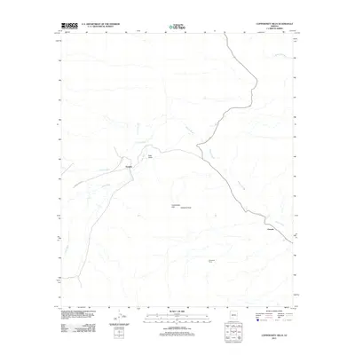
2011 Map of Copperosity Hills
USGS Topo · Published 2011About this map
Copperosity Hills and the prominent Cathedral Rock define the desert landscape of this portion of the Sif Oidak District. In the early 21st century, this area remains characterized by its network of ephemeral watercourses, including Kohatk Wash, Kaka Wash, and Bitter Well Wash, which snake across the arid floor. Small settlements and specialized sites such as Totopitk, Chiapuk, and Greenback Camp are linked by Indian Rte 342 and several unnumbered roads. The presence of Kaka Valley further illustrates the complex drainage and terrain patterns of this southern Arizona desert region, where life and travel are dictated by the seasonal flow of the washes.
Find a feature on this map
10 named features on this map. Tap any name to fly to it.
Don’t see what you’re looking for? This feature index may not catch every label — zoom into the map to look around manually.
Map Details
Editions of this 2011 Copperosity Hills Map
This is the sole edition of this map. No revisions or reprints were ever made.
Other maps of this area

1941 · Vekol Mountains
USGS Topo · 1:62,500

1942 · Vekol Mountains
USGS Topo · 1:62,500

1953 · Ajo
USGS Topo · 1:250,000

1957 · Ajo
USGS Topo · 1:250,000

1958 · Ajo
USGS Topo · 1:250,000

1958 · Kaka
USGS Topo · 1:62,500

1962 · Ajo
USGS Topo · 1:250,000

1963 · Ajo
USGS Topo · 1:250,000

1963 · Gu Achi
USGS Topo · 1:62,500

1963 · Cimarron Peak
USGS Topo · 1:62,500