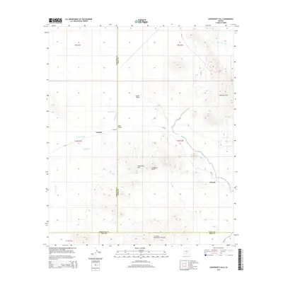
2014 Map of Copperosity Hills
USGS Topo · Published 2014About this map
Copperosity Hills and Cathedral Rock define the central topography of this Sif Oidak District desert landscape. The area is characterized by a complex network of seasonal drainages, including Kohatk Wash, Kaka Wash, and Bitter Well Wash, which carve through the broader Kohatk Valley and Kaka Valley. This 2014 survey documents the convergence of Maricopa, Pinal, and Pima counties, a point where remote mountain ranges like the Vekol Mountains and Cimarron Mountains meet the desert floor. Human presence is centered on the settlements of Totopitk and Chiapuk, connected by tribal routes Bia-242 and Bia-342. The land use patterns here reflect the unique political and physical geography of the Sonoran Desert, where county lines bisect open ranges and traditional settlements follow the natural orientation of the valleys.
Find a feature on this map
22 named features on this map. Tap any name to fly to it.
Don’t see what you’re looking for? This feature index may not catch every label — zoom into the map to look around manually.
Map Details
Editions of this 2014 Copperosity Hills Map
This is the sole edition of this map. No revisions or reprints were ever made.
Other maps of this area

1941 · Vekol Mountains
USGS Topo · 1:62,500

1942 · Vekol Mountains
USGS Topo · 1:62,500

1953 · Ajo
USGS Topo · 1:250,000

1957 · Ajo
USGS Topo · 1:250,000

1958 · Ajo
USGS Topo · 1:250,000

1958 · Kaka
USGS Topo · 1:62,500

1962 · Ajo
USGS Topo · 1:250,000

1963 · Ajo
USGS Topo · 1:250,000

1963 · Gu Achi
USGS Topo · 1:62,500

1963 · Cimarron Peak
USGS Topo · 1:62,500