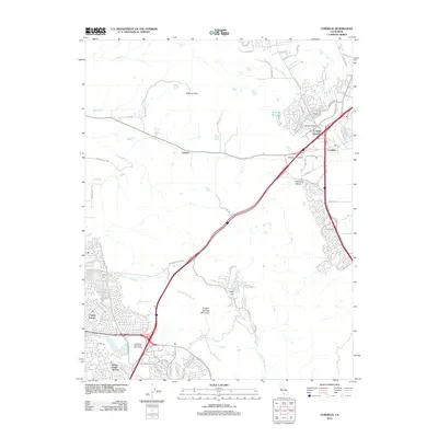
2012 Map of Cordelia
USGS Topo · Published 2012About this map
Cordelia Junction serves as a critical transit hub where major corridors converge near the settlements of Cordelia and Green Valley. This 2012 survey captures the northern reaches of Vallejo's residential expansion, including the planned neighborhoods of Chabot Terrace and Harry Floyd Terrace near Lake Chabot. The geography is defined by the steep transition from the tidal influence of N Slough and the Napa Valley Hwy lowlands up toward the prominent heights of Elkhorn Peak and Sulphur Springs Mountain.
Find a feature on this map
74 named features on this map. Tap any name to fly to it.
Don’t see what you’re looking for? This feature index may not catch every label — zoom into the map to look around manually.
Map Details
Editions of this 2012 Cordelia Map
This is the sole edition of this map. No revisions or reprints were ever made.
Other maps of this area

1896 · Carquinez Strait
USGS Topo · 1:62,500

1898 · Karquines
USGS Topo · 1:62,500

1901 · Karquines
USGS Topo · 1:62,500

1902 · Napa
USGS Topo · 1:125,000

1916 · Mare Island
USGS Topo · 1:62,500

1921 · Mt. Vaca
USGS Topo · 1:62,500

1940 · Carquinez Strait
USGS Topo · 1:62,500

1942 · Mare Island
USGS Topo · 1:62,500

1942 · Carquinez
USGS Topo · 1:62,500

1942 · Sonoma
USGS Topo · 1:62,500