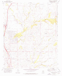
1974 Map of Cordes Junction
USGS Topo · Published 1977About this map
The Agua Fria River carves a central path through this Yavapai County landscape, where the high desert meets the southern reaches of the Prescott National Forest. In the mid-1970s, Cordes Junction stands as a pivotal transit node, marked by the intersection of major thoroughfares and the Bloody Basin Interchange. The topography is defined by significant elevations like Sycamore Mesa and Perry Mesa, separated by a network of drainage systems including Big Bug Creek and Badger Spring Wash.
Find a feature on this map
28 named features on this map. Tap any name to fly to it.
Don’t see what you’re looking for? This feature index may not catch every label — zoom into the map to look around manually.
Map Details
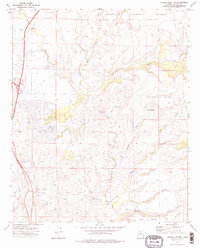
Editions of this 1974 Cordes Junction Map
2 editions found
Other maps of this area

1887 · Verde
USGS Topo · 1:250,000

1887 · Prescott
USGS Topo · 1:250,000

1892 · Verde
USGS Topo · 1:250,000

1892 · Prescott
USGS Topo · 1:250,000

1903 · Bradshaw Mountains
USGS Topo · 1:125,000

1929 · Turret Peak
USGS Topo · 1:125,000

1933 · Turret Peak
USGS Topo · 1:125,000

1947 · Bumblebee
USGS Topo · 1:62,500

1947 · Mayer
USGS Topo · 1:62,500

1948 · Bumblebee
USGS Topo · 1:63,360