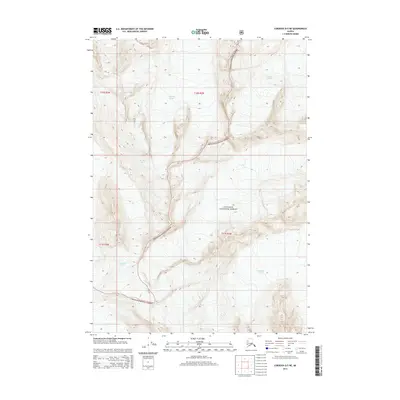
2014 Map of Cordova D-5 NE
USGS Topo · Published 2014About this map
Wortmanns Glacier and the adjacent ice fields of the Chugach National Forest dominate this high-altitude landscape in the early twenty-first century. This survey by the U.S. Geological Survey details the immense glacial systems that define the geography of the Chugach Mountains, including the expansive Tasnuna Glacier in the northeast and Woodworth Glacier to the south. The map provides a precise record of the ice margins as of 2014, showing the contours of features like Deserted Glacier and the steep elevation changes across the region. With no roads or permanent settlements present, the terrain is defined entirely by its glacial movements and the protected wilderness boundaries. This record of glacial coverage is vital for understanding the ice-dominated environment of the Unorganized Borough during this era.
Find a feature on this map
9 named features on this map. Tap any name to fly to it.
Don’t see what you’re looking for? This feature index may not catch every label — zoom into the map to look around manually.
Map Details
Editions of this 2014 Cordova D-5 NE Map
This is the sole edition of this map. No revisions or reprints were ever made.
Other maps of this area

1948 · Cordova
USGS Topo · 1:250,000

1950 · Cordova D-5
USGS Topo · 1:63,360

1951 · Cordova
USGS Topo · 1:250,000

1951 · Cordova D-4
USGS Topo · 1:63,360

1952 · Valdez
USGS Topo · 1:250,000

1953 · Cordova D-5
USGS Topo · 1:63,360

1953 · Cordova D-4
USGS Topo · 1:63,360

1953 · Valdez A-4
USGS Topo · 1:63,360

1953 · Valdez A-5
USGS Topo · 1:63,360

1959 · Cordova
USGS Topo · 1:250,000