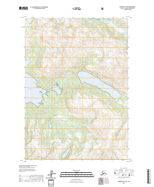
2024 Map of Cordova D-7 NW
USGS Topo · Published 2024About this map
Chugach National Forest encompasses this wilderness landscape where glacial valleys and coastal waters meet. The terrain is defined by dramatic elevation changes from the tidal waters of Galena Bay and The Lagoon to the high peaks surrounding Bells Butte. Hydrological patterns show a complex network of freshwater sources, including Millard Lake and Copper Lake, which feed into coastal drainages like Millard Creek and Copper Creek.
Find a feature on this map
19 named features on this map. Tap any name to fly to it.
Don’t see what you’re looking for? This feature index may not catch every label — zoom into the map to look around manually.
Map Details
Editions of this 2024 Cordova D-7 NW Map
This is the sole edition of this map. No revisions or reprints were ever made.
Other maps of this area

1948 · Cordova
USGS Topo · 1:250,000

1950 · Cordova D-7
USGS Topo · 1:63,360

1951 · Cordova
USGS Topo · 1:250,000

1951 · Cordova D-8
USGS Topo · 1:63,360

1952 · Valdez
USGS Topo · 1:250,000

1952 · Cordova D-8
USGS Topo · 1:63,360

1952 · Cordova D-7
USGS Topo · 1:63,360

1959 · Cordova
USGS Topo · 1:250,000

1960 · Valdez A-8
USGS Topo · 1:63,360

1960 · Valdez A-7
USGS Topo · 1:63,360