
1951 Map of Cordova D-8
USGS Topo · Published 1966About this map
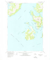
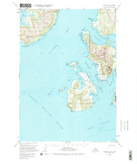
Tatitlek and Ellamar serve as the primary coastal settlements on this mid-century survey of the Prince William Sound region. The map captures the industrial and logistical character of the area, featuring the Wagoner Mine and Rua Mine located inland from Virgin Bay. Marine activity is centered around a Seaplane Base near the village of Ellamar, reflecting the area's dependence on water-based transportation. The topography is dominated by massive coastal features like Ellamar Mountain and Mt Freemantle, while the intricate waterways of Valdez Arm and Tatitlek Narrows define the navigation paths between the mainland and Bligh Island. A small Cem is noted at Tatitlek, providing a point of interest for those researching local family history in this corner of the Chugach National Forest.
Find a feature on this map
34 named features on this map. Tap any name to fly to it.
Don’t see what you’re looking for? This feature index may not catch every label — zoom into the map to look around manually.
Map Details
Editions of this 1951 Cordova D-8 Map
3 editions found
Other maps of this area

1948 · Cordova
USGS Topo · 1:250,000

1950 · Cordova C-7
USGS Topo · 1:63,360

1950 · Cordova D-7
USGS Topo · 1:63,360

1950 · Cordova C-8
USGS Topo · 1:63,360

1951 · Seward
USGS Topo · 1:250,000

1951 · Anchorage
USGS Topo · 1:250,000

1951 · Cordova
USGS Topo · 1:250,000

1951 · Seward D-1
USGS Topo · 1:63,360

1951 · Seward C-1
USGS Topo · 1:63,360

1952 · Valdez
USGS Topo · 1:250,000