
1951 Map of Seward D-1
USGS Topo · Published 1965About this map
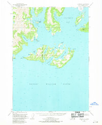
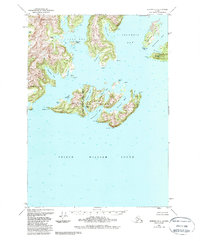
Glacier Island sits at the entrance to Columbia Bay, acting as a massive natural breakwater where the waters of Prince William Sound meet the glacial outflow of the Columbia Glacier. This mid-century survey illustrates the intricate coastline of the Chugach National Forest, characterized by deep-water inlets such as Long Bay and Eickelberg Bay. The map documents small, isolated Cabins scattered across the islands, indicating the era's reliance on maritime travel for subsistence and shelter in these remote reaches of Alaska. Coastal features like Elder Pt, Bull Head, and Iceberg Pt define the navigation paths around Schrader Island and Heather Island, while the interior of the islands remains largely dominated by high points like Round Mtn. The detailed hydrographic data and topographical contours show the relationship between the receding ice and the emerging bays like Jackson Hole.
Find a feature on this map
44 named features on this map. Tap any name to fly to it.
Don’t see what you’re looking for? This feature index may not catch every label — zoom into the map to look around manually.
Map Details
Editions of this 1951 Seward D-1 Map
3 editions found
Other maps of this area

1948 · Cordova
USGS Topo · 1:250,000

1950 · Cordova C-8
USGS Topo · 1:63,360

1951 · Seward
USGS Topo · 1:250,000

1951 · Anchorage
USGS Topo · 1:250,000

1951 · Cordova
USGS Topo · 1:250,000

1951 · Seward D-2
USGS Topo · 1:63,360

1951 · Cordova D-8
USGS Topo · 1:63,360

1951 · Seward C-1
USGS Topo · 1:63,360

1951 · Seward C-2
USGS Topo · 1:63,360

1952 · Valdez
USGS Topo · 1:250,000