
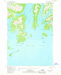
1951 Map of Seward D-2
USGS Topo · Published 1964About this map
Prince William Sound dominates this mid-century topographic study, revealing a rugged coast of deep fjords and isolated islands within the Chugach National Forest. The geography is defined by the massive reach of Unakwik Inlet and Wells Bay, where the shoreline is dotted with small named sites like Birch, Inlet, and Kiniklik. These labels often indicate small seasonal camps, cabins, or historically significant coastal points rather than established towns.
Find a feature on this map
45 named features on this map. Tap any name to fly to it.
Don’t see what you’re looking for? This feature index may not catch every label — zoom into the map to look around manually.
Map Details
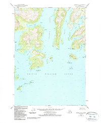
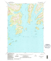
Editions of this 1951 Seward D-2 Map
4 editions found
Other maps of this area

1951 · Seward
USGS Topo · 1:250,000

1951 · Anchorage
USGS Topo · 1:250,000

1951 · Seward D-1
USGS Topo · 1:63,360

1951 · Seward D-3
USGS Topo · 1:63,360

1951 · Seward C-1
USGS Topo · 1:63,360

1951 · Seward C-3
USGS Topo · 1:63,360

1951 · Seward C-2
USGS Topo · 1:63,360

1952 · Seward C-1
USGS Topo · 1:63,360

1952 · Seward D-1
USGS Topo · 1:63,360

1952 · Seward D-3
USGS Topo · 1:63,360