
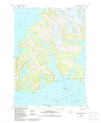
1951 Map of Seward D-3
USGS Topo · Published 1966About this map
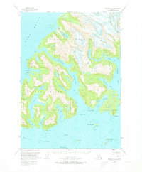
Esther Island dominates this portion of the Chugach National Forest, carved by glacial activity and deep maritime passages. In the early 1950s, the maritime landscape of Wells Passage and Port Wells served as a critical corridor for northern navigation, evidenced by the Esther Island Light and a CAA Radio Range Sta located near the Dutch Group islands. The map documents the mining and settlement history of the region at Golden and the nearby Golden (Site) on the northern coast. The interior of the island is marked by Esther Lake, while the surrounding waters are defined by numerous inlets such as Cascade Bay, which features a prominent Waterfall Cascade. Glaciers like Crescent Glacier and Eaglek Glacier continue to shape the mainland topography to the north and east, feeding the Avery River and various coastal coves.
Find a feature on this map
39 named features on this map. Tap any name to fly to it.
Don’t see what you’re looking for? This feature index may not catch every label — zoom into the map to look around manually.
Map Details
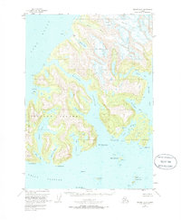
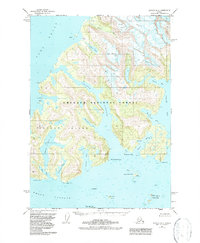
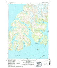
Editions of this 1951 Seward D-3 Map
6 editions found
Other maps of this area

1951 · Seward
USGS Topo · 1:250,000

1951 · Anchorage
USGS Topo · 1:250,000

1951 · Seward D-2
USGS Topo · 1:63,360

1951 · Seward D-4
USGS Topo · 1:63,360

1951 · Seward C-4
USGS Topo · 1:63,360

1951 · Seward C-3
USGS Topo · 1:63,360

1951 · Seward C-2
USGS Topo · 1:63,360

1952 · Seward D-3
USGS Topo · 1:63,360

1952 · Seward C-3
USGS Topo · 1:63,360

1952 · Seward C-2
USGS Topo · 1:63,360