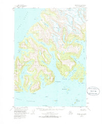
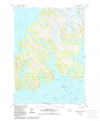
1951 Map of Seward D-3
USGS Topo · Published 1986About this map
Esther Island and the surrounding waters of Port Wells and Wells Passage define this maritime landscape at the mid-century. Glacial activity is a primary shaper of the terrain, with the Eaglek Glacier, Crescent Glacier, and Tommy Glacier feeding into the intricate fjord system. These icy giants are countered by the presence of Esther Lake and the various sheltered inlets like Quillian Bay and Shoestring Cove.
Find a feature on this map
54 named features on this map. Tap any name to fly to it.
Don’t see what you’re looking for? This feature index may not catch every label — zoom into the map to look around manually.
Map Details
Editions of this 1951 Seward D-3 Map
6 editions found
Other maps of this area

1951 · Seward
USGS Topo · 1:250,000

1951 · Anchorage
USGS Topo · 1:250,000

1951 · Seward D-2
USGS Topo · 1:63,360

1951 · Seward D-4
USGS Topo · 1:63,360

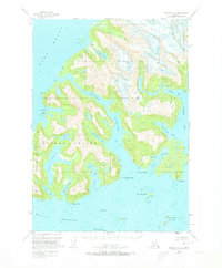
1951 · Seward D-3
USGS Topo · 1:63,360

1951 · Seward C-4
USGS Topo · 1:63,360

1951 · Seward C-3
USGS Topo · 1:63,360

1951 · Seward C-2
USGS Topo · 1:63,360

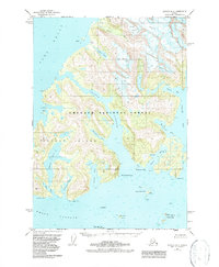
1952 · Seward D-3
USGS Topo · 1:63,360

1952 · Seward C-3
USGS Topo · 1:63,360