
1951 Map of Seward D-4
USGS Topo · Published 1965About this map
Harriman Fiord and the surrounding glacial landscape of the Chugach National Forest dominate this mid-century survey. Massive ice flows including Harriman Glacier, Bettles Glacier, and Roaring Glacier descend toward the sea, shaping a coastline defined by deep inlets and narrow passages. Evidence of early twentieth-century extraction is visible at the Granite Mine near Hobo Bay and the Lansing Mine further south, illustrating the era's reliance on maritime access for mineral exploration. Small coastal outposts like Viola and Welt sit along the shores of Blackstone Bay, while Logging Camp Bay points to the region's timber history. The map detail extends to the complex waterways of Port Wells and Passage Canal, where numerous cabins and landing points like Pirate Cove served as vital links for surveyors and miners navigating the Prince William Sound interior before the development of modern infrastructure.
Find a feature on this map
52 named features on this map. Tap any name to fly to it.
Don’t see what you’re looking for? This feature index may not catch every label — zoom into the map to look around manually.
Map Details
Editions of this 1951 Seward D-4 Map
5 editions found
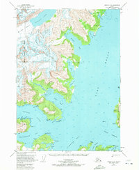
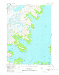
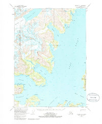
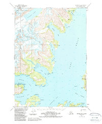
Other maps of this area

1951 · Seward
USGS Topo · 1:250,000

1951 · Anchorage
USGS Topo · 1:250,000

1951 · Seward D-5
USGS Topo · 1:63,360

1951 · Seward C-5
USGS Topo · 1:63,360

1951 · Seward D-3
USGS Topo · 1:63,360

1951 · Seward C-4
USGS Topo · 1:63,360

1951 · Seward C-3
USGS Topo · 1:63,360

1952 · Seward D-5
USGS Topo · 1:63,360

1952 · Seward D-3
USGS Topo · 1:63,360

1952 · Seward C-3
USGS Topo · 1:63,360