
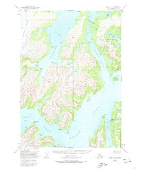
1951 Map of Seward C-4
USGS Topo · Published 1966About this map
Port Nellie Juan serves as the focal point of this maritime and glacial landscape in the early 1950s. The presence of the Port Nellie Juan Cannery and its associated Aqueduct on the eastern shore of McClure Bay highlights the active fishing and processing industry of the era. This industrial outpost sits at the edge of a complex network of fjords and inlets, including the branching fingers of West Finger Inlet and East Finger Inlet.
Find a feature on this map
48 named features on this map. Tap any name to fly to it.
Don’t see what you’re looking for? This feature index may not catch every label — zoom into the map to look around manually.
Map Details
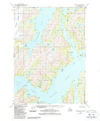
Editions of this 1951 Seward C-4 Map
3 editions found
Other maps of this area

1950 · Seward B-3
USGS Topo · 1:63,360

1951 · Seward
USGS Topo · 1:250,000

1951 · Seward D-5
USGS Topo · 1:63,360

1951 · Seward B-4
USGS Topo · 1:63,360

1951 · Seward C-5
USGS Topo · 1:63,360

1951 · Seward D-4
USGS Topo · 1:63,360

1951 · Seward B-5
USGS Topo · 1:63,360

1951 · Seward D-3
USGS Topo · 1:63,360

1951 · Seward C-3
USGS Topo · 1:63,360

1952 · Seward B-4
USGS Topo · 1:63,360