
1951 Map of Seward B-4
USGS Topo · Published 1964About this map
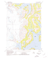
Sargent Ice Field dominates the western interior of this coastal Alaskan landscape, feeding a massive network of ice including the Princeton Glacier and Chenega Glacier. This mid-century survey captures the complex glaciology and deep-water inlets of western Prince William Sound before more recent decades of glacial retreat. The maritime geography is defined by deep incisions like Blue Fiord and Nassau Fiord, which reach toward the ice fields. To the east, the landscape transitions to the complex island and lake systems of Dangerous Passage, featuring Chenega Island and the interconnected Jackpot Lakes. Numerous triangulation stations, such as VABM Duke and VABM Icy, indicate the precision of the mapping effort across this roadless portion of the Chugach National Forest.
Find a feature on this map
34 named features on this map. Tap any name to fly to it.
Don’t see what you’re looking for? This feature index may not catch every label — zoom into the map to look around manually.
Map Details
Editions of this 1951 Seward B-4 Map
3 editions found
Other maps of this area

1950 · Seward B-3
USGS Topo · 1:63,360

1951 · Seward
USGS Topo · 1:250,000

1951 · Seward C-5
USGS Topo · 1:63,360

1951 · Seward A-5
USGS Topo · 1:63,360

1951 · Seward A-3
USGS Topo · 1:63,360

1951 · Seward B-5
USGS Topo · 1:63,360

1951 · Seward A-4
USGS Topo · 1:63,360

1951 · Seward C-4
USGS Topo · 1:63,360

1951 · Seward C-3
USGS Topo · 1:63,360

1952 · Seward A-5
USGS Topo · 1:63,360