
1951 Map of Seward A-4
USGS Topo · Published 1965About this map
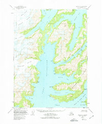
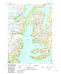
Chenega Glacier and Tigertail Glacier dominate the northern terrain of this coastal Alaskan landscape, where the ice meets the complex inlets of Icy Bay and Whale Bay. Within the Chugach National Forest, the map traces a wild maritime environment defined by steep peaks like Claw Peak and intricate waterways. This mid-century survey reveals the untouched geography of Bainbridge Island, separated from the mainland by the Bainbridge Passage.
Find a feature on this map
23 named features on this map. Tap any name to fly to it.
Don’t see what you’re looking for? This feature index may not catch every label — zoom into the map to look around manually.
Map Details
Editions of this 1951 Seward A-4 Map
3 editions found
Other maps of this area

1946 · Blying Sound
USGS Topo · 1:250,000

1950 · Seward B-3
USGS Topo · 1:63,360

1950 · Blying Sound D-4
USGS Topo · 1:63,360

1950 · Blying Sound D-5
USGS Topo · 1:63,360

1951 · Blying Sound
USGS Topo · 1:250,000

1951 · Seward
USGS Topo · 1:250,000

1951 · Seward B-4
USGS Topo · 1:63,360

1951 · Seward A-5
USGS Topo · 1:63,360

1951 · Seward A-3
USGS Topo · 1:63,360

1951 · Seward B-5
USGS Topo · 1:63,360