
1950 Map of Blying Sound D-4
USGS Topo · Published 1974About this map
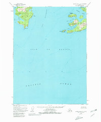
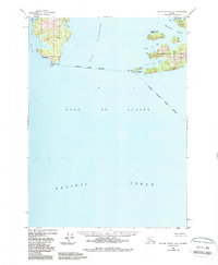
Maritime safety and coastal navigation define this 1950 coastal survey of the Kenai Peninsula shoreline. The map focuses on the complex waterways where the Gulf of Alaska meets the protected reaches of Port Bainbridge. Strategically positioned landforms are designated for federal use, most notably the Pt Elrington Lighthouse Reserve and the Lonetree Pt Lighthouse Reserve, which secured vital points for navigational aids at the entrance to Elrington Passage.
Find a feature on this map
19 named features on this map. Tap any name to fly to it.
Don’t see what you’re looking for? This feature index may not catch every label — zoom into the map to look around manually.
Map Details
Editions of this 1950 Blying Sound D-4 Map
3 editions found
Other maps of this area

1946 · Blying Sound
USGS Topo · 1:250,000

1950 · Blying Sound D-5
USGS Topo · 1:63,360

1951 · Blying Sound
USGS Topo · 1:250,000

1951 · Seward
USGS Topo · 1:250,000

1951 · Seward A-5
USGS Topo · 1:63,360

1951 · Seward A-3
USGS Topo · 1:63,360

1951 · Seward A-4
USGS Topo · 1:63,360

1952 · Seward A-5
USGS Topo · 1:63,360

1952 · Seward A-3
USGS Topo · 1:63,360
1952 · Blying Sound D-5
USGS Topo · 1:63,360