
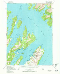
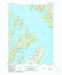
1951 Map of Seward A-3
USGS Topo · Published 1965About this map
Latouche Island and the surrounding Prince William Sound waterways reveal a landscape of industrial extraction and maritime commerce in the early 1950s. The presence of the Beatson Mine (Aband) and Blackbird Mine (Aband) near the Wilson River indicates the region's historical reliance on mineral wealth, while the San Juan Cannery on Evans Island highlights the vital role of the fishing industry. Deep channels like Knight Island Passage and Montague Strait frame the rugged terrain of Bainbridge Island and Flemming Island. Surveyed shortly after mid-century, the map also identifies critical navigational and infrastructure points such as the Seaplane Base at Thumb Bay and the Lighthouse Reserve on the eastern shore, providing a clear picture of how aviation and maritime travel supported these remote coastal outposts.
Find a feature on this map
72 named features on this map. Tap any name to fly to it.
Don’t see what you’re looking for? This feature index may not catch every label — zoom into the map to look around manually.
Map Details
Editions of this 1951 Seward A-3 Map
3 editions found
Other maps of this area

1946 · Blying Sound
USGS Topo · 1:250,000

1950 · Seward B-3
USGS Topo · 1:63,360

1950 · Blying Sound D-4
USGS Topo · 1:63,360

1951 · Blying Sound
USGS Topo · 1:250,000

1951 · Seward
USGS Topo · 1:250,000

1951 · Seward A-2
USGS Topo · 1:63,360

1951 · Seward B-4
USGS Topo · 1:63,360

1951 · Blying Sound D-1 and D-2
USGS Topo · 1:63,360

1951 · Seward A-4
USGS Topo · 1:63,360

1951 · Seward B-2
USGS Topo · 1:63,360