
1951 Map of Seward B-2
USGS Topo · Published 1965About this map
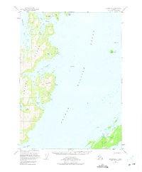
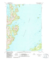
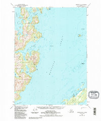
Knight Island dominates this maritime survey of Prince William Sound, showcasing a landscape of complex inlets and isolated outposts within the Chugach National Forest. The map details a rugged coastal economy where cabins are scattered near Lower Passage and Green Island. Industrial activity is centered on a mine near Rua Cove, tucked beneath the slopes of Iron Mountain. Navigation is a central theme, with soundings throughout the Bay of Isles and Snug Harbor, along with critical landmarks such as Yellow Cliffs and Pennsylvania Rock. Remote freshwater features like Otter Lake provide a contrast to the deep saltwater arms of West Arm and South Arm. This 1951 documentation captures a period of early post-war coastal surveying, preserving the location of seasonal settlements and resource extraction sites long before modern developments.
Find a feature on this map
31 named features on this map. Tap any name to fly to it.
Don’t see what you’re looking for? This feature index may not catch every label — zoom into the map to look around manually.
Map Details
Editions of this 1951 Seward B-2 Map
4 editions found
Other maps of this area

1950 · Seward B-3
USGS Topo · 1:63,360

1951 · Seward
USGS Topo · 1:250,000

1951 · Seward B-1
USGS Topo · 1:63,360

1951 · Seward A-2
USGS Topo · 1:63,360

1951 · Seward A-3
USGS Topo · 1:63,360

1951 · Seward A-1
USGS Topo · 1:63,360

1951 · Seward C-1
USGS Topo · 1:63,360

1951 · Seward C-3
USGS Topo · 1:63,360

1951 · Seward C-2
USGS Topo · 1:63,360

1952 · Seward C-1
USGS Topo · 1:63,360