
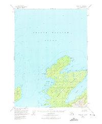
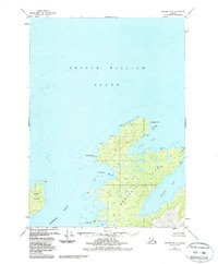
1951 Map of Seward B-1
USGS Topo · Published 1964About this map
The northern reaches of Montague Island anchor this hydrographic and topographic study of Prince William Sound. The landscape is dominated by the intricate shorelines of the Chugach National Forest, where deep indentations like Rocky Bay and Zaikof Bay carve into the timbered terrain. While primarily a record of coastal geography and bathymetry, the map identifies specific maritime landmarks such as Montague Point and Middle Pt.
Find a feature on this map
12 named features on this map. Tap any name to fly to it.
Don’t see what you’re looking for? This feature index may not catch every label — zoom into the map to look around manually.
Map Details
Editions of this 1951 Seward B-1 Map
3 editions found
Other maps of this area

1948 · Cordova
USGS Topo · 1:250,000

1950 · Cordova C-8
USGS Topo · 1:63,360

1951 · Seward
USGS Topo · 1:250,000

1951 · Cordova
USGS Topo · 1:250,000

1951 · Seward A-2
USGS Topo · 1:63,360

1951 · Seward A-1
USGS Topo · 1:63,360

1951 · Seward B-2
USGS Topo · 1:63,360

1951 · Seward C-1
USGS Topo · 1:63,360

1951 · Cordova B-8
USGS Topo · 1:63,360
1951 · Cordova A-7 and A-8
USGS Topo · 1:63,360