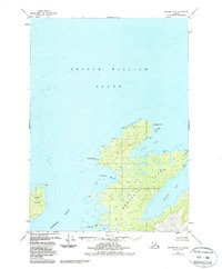
1951 Map of Seward B-1
USGS Topo · Published 1988About this map
Montague Island dominates the southeastern quadrant of this coastal survey, where the northern tip of the landmass meets the waters of Prince William Sound. The coastline is heavily indented with protected waters such as Rocky Bay and Stockdale Harbor, indicating a landscape shaped by maritime navigation and the natural shelter provided by the island's many coves. To the west, Green Island sits isolated in the Montague Strait, which separates these landforms from the mainland.
Find a feature on this map
14 named features on this map. Tap any name to fly to it.
Don’t see what you’re looking for? This feature index may not catch every label — zoom into the map to look around manually.
Map Details
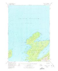
Editions of this 1951 Seward B-1 Map
3 editions found
Other maps of this area

1948 · Cordova
USGS Topo · 1:250,000

1950 · Cordova C-8
USGS Topo · 1:63,360

1951 · Seward
USGS Topo · 1:250,000

1951 · Cordova
USGS Topo · 1:250,000

1951 · Seward B-1
USGS Topo · 1:63,360

1951 · Seward A-2
USGS Topo · 1:63,360

1951 · Seward A-1
USGS Topo · 1:63,360

1951 · Seward B-2
USGS Topo · 1:63,360

1951 · Seward C-1
USGS Topo · 1:63,360

1951 · Cordova B-8
USGS Topo · 1:63,360