
1951 Map of Seward C-2
USGS Topo · Published 1967About this map
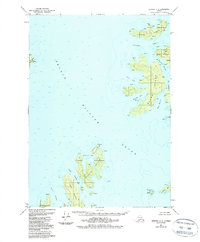
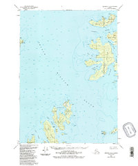
Naked Island sits at the heart of this maritime survey, surrounded by the deep waters of Prince William Sound. The map documents a rugged archipelago during the early 1950s, characterized by intricate shorelines and secluded waterways like McPherson Passage and Liljegren Passage. Navigation aids and infrastructure of the era are visible, including the Abbot Light beacon and a dedicated Seaplane Base on Peak Island, reflecting the region's reliance on air and sea travel.
Find a feature on this map
28 named features on this map. Tap any name to fly to it.
Don’t see what you’re looking for? This feature index may not catch every label — zoom into the map to look around manually.
Map Details
Editions of this 1951 Seward C-2 Map
3 editions found
Other maps of this area

1950 · Seward B-3
USGS Topo · 1:63,360

1951 · Seward
USGS Topo · 1:250,000

1951 · Seward B-1
USGS Topo · 1:63,360

1951 · Seward D-2
USGS Topo · 1:63,360

1951 · Seward D-1
USGS Topo · 1:63,360

1951 · Seward B-2
USGS Topo · 1:63,360

1951 · Seward D-3
USGS Topo · 1:63,360

1951 · Seward C-1
USGS Topo · 1:63,360

1951 · Seward C-3
USGS Topo · 1:63,360

1952 · Seward C-1
USGS Topo · 1:63,360