
1950 Map of Seward B-3
USGS Topo · Published 1963About this map
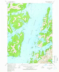
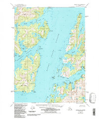
The coastal village of Chenega sits at the southwestern edge of this survey, overlooking Dangerous Passage and the surrounding Prince William Sound waters. This mid-century coastal mapping reflects the maritime-dependent life of the region before significant shifts in the local shoreline and settlement patterns. The topography is dominated by the intricate fjords and inlets of Knight Island, where land and sea interlock through features like Drier Bay and Herring Bay.
Find a feature on this map
70 named features on this map. Tap any name to fly to it.
Don’t see what you’re looking for? This feature index may not catch every label — zoom into the map to look around manually.
Map Details
Editions of this 1950 Seward B-3 Map
3 editions found
Other maps of this area

1951 · Seward
USGS Topo · 1:250,000

1951 · Seward A-2
USGS Topo · 1:63,360

1951 · Seward B-4
USGS Topo · 1:63,360

1951 · Seward A-3
USGS Topo · 1:63,360

1951 · Seward A-4
USGS Topo · 1:63,360

1951 · Seward B-2
USGS Topo · 1:63,360

1951 · Seward C-4
USGS Topo · 1:63,360

1951 · Seward C-3
USGS Topo · 1:63,360

1951 · Seward C-2
USGS Topo · 1:63,360

1952 · Seward B-4
USGS Topo · 1:63,360