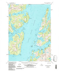
1950 Map of Seward B-3
USGS Topo · Published 1988About this map
The Dangerous Passage dominates the seascape between the mainland and the massive landmass of Knight Island in Prince William Sound. This mid-century survey captures a maritime landscape defined by isolated coastal settlements and traditional anchorages before the transformative 1964 earthquake. On the mainland shore, Chenega sits near the mouth of Chenega Cove, a community whose location and character are tied to the nearby Chenega Peak. Across the passage, the complex coastline of Knight Island is carved into deep inlets like Drier Bay and Herring Bay, providing shelter for small outposts such as Port Audrey and Snug Harbor. The terrain is characterized by steep coastal summits, including Eshamy Peak, which overlooks the intricate drainage of Eshamy Lagoon and Eshamy Bay. The map reveals a network of coastal features like Pt Nowell and Aguliak Is that served as critical navigation marks for the local fishing and transport economy.
Find a feature on this map
84 named features on this map. Tap any name to fly to it.
Don’t see what you’re looking for? This feature index may not catch every label — zoom into the map to look around manually.
Map Details
Editions of this 1950 Seward B-3 Map
3 editions found
Other maps of this area

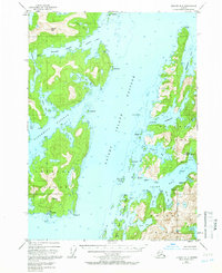
1950 · Seward B-3
USGS Topo · 1:63,360

1951 · Seward
USGS Topo · 1:250,000

1951 · Seward A-2
USGS Topo · 1:63,360

1951 · Seward B-4
USGS Topo · 1:63,360

1951 · Seward A-3
USGS Topo · 1:63,360

1951 · Seward A-4
USGS Topo · 1:63,360

1951 · Seward B-2
USGS Topo · 1:63,360

1951 · Seward C-4
USGS Topo · 1:63,360

1951 · Seward C-3
USGS Topo · 1:63,360

1951 · Seward C-2
USGS Topo · 1:63,360