
1951 Map of Blying Sound D-1 and D-2
USGS Topo · Published 1965About this map
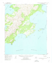
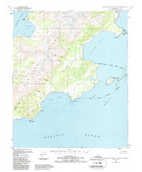
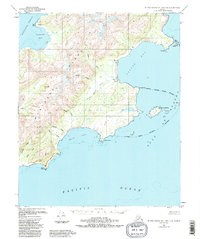
Montague Island dominates this 1951 survey, exhibiting the intricate coastal geography of the Chugach National Forest before the tectonic shifts of the 1964 earthquake altered these shorelines. The topography is defined by sharp ridgelines and glacial drainages, most notably the Nellie Martin River which flows into the broad expanse of Patton Bay. Significant coastal indentations provide natural shelter along the Gulf of Alaska, including Mac Leod Harbor and Hanning Bay, the latter of which features a solitary Cabin near Hanning. To the east, the Wooded Islands, including Tanker I and Shirt I, sit exposed to the Pacific Ocean. This map captures the region’s maritime character, documenting landmarks like Box Point and Pointed Rock that served as critical visual aids for navigation through the Montague Strait.
Find a feature on this map
20 named features on this map. Tap any name to fly to it.
Don’t see what you’re looking for? This feature index may not catch every label — zoom into the map to look around manually.
Map Details
Editions of this 1951 Blying Sound D-1 and D-2 Map
4 editions found
Other maps of this area

1946 · Blying Sound
USGS Topo · 1:250,000

1951 · Blying Sound
USGS Topo · 1:250,000

1951 · Seward
USGS Topo · 1:250,000

1951 · Seward A-2
USGS Topo · 1:63,360

1951 · Seward A-3
USGS Topo · 1:63,360

1951 · Seward A-1
USGS Topo · 1:63,360

1952 · Seward A-3
USGS Topo · 1:63,360

1953 · Seward A-2
USGS Topo · 1:63,360

1953 · Seward A-1
USGS Topo · 1:63,360
1953 · Blying Sound D-3
USGS Topo · 1:63,360