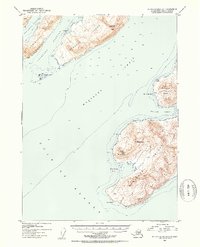
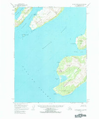
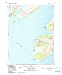
1953 Map of Blying Sound D-3
USGS Topo · Published 1954About this map
Latouche Island and the rugged southern tip of Montague Island dominate this mid-century maritime study of Prince William Sound's entrance. The settlement of Latouche is positioned on the northwest coast of its namesake island, overlooking the sheltered waters of Latouche Passage and Montgomery Bay. These islands served as critical navigational landmarks for vessels transitioning from the Gulf of Alaska into the protected straits.
Find a feature on this map
24 named features on this map. Tap any name to fly to it.
Don’t see what you’re looking for? This feature index may not catch every label — zoom into the map to look around manually.
Map Details
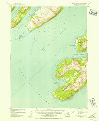
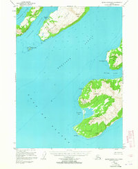
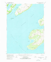
Editions of this 1953 Blying Sound D-3 Map
6 editions found
Other maps of this area

1946 · Blying Sound
USGS Topo · 1:250,000

1950 · Blying Sound D-4
USGS Topo · 1:63,360

1951 · Blying Sound
USGS Topo · 1:250,000

1951 · Seward
USGS Topo · 1:250,000

1951 · Seward A-2
USGS Topo · 1:63,360

1951 · Seward A-3
USGS Topo · 1:63,360

1951 · Blying Sound D-1 and D-2
USGS Topo · 1:63,360

1951 · Seward A-4
USGS Topo · 1:63,360

1952 · Seward A-3
USGS Topo · 1:63,360

1952 · Seward A-4
USGS Topo · 1:63,360