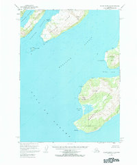
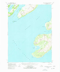
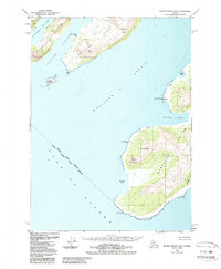
1953 Map of Blying Sound D-3
USGS Topo · Published 1984About this map
Montague Island dominates this 1953 topographic study, illustrating the maritime landscape of the western Prince William Sound region. The map captures a coastal environment defined by high peaks and strategic maritime passages, including Latouche Passage and the broad Montague Strait. Settlement is nearly nonexistent, represented only by isolated structures such as Cloud Cabin and a Trap near Pt Bryant, reflecting the sparse human footprint within the Chugach National Forest during the mid-century period.
Find a feature on this map
27 named features on this map. Tap any name to fly to it.
Don’t see what you’re looking for? This feature index may not catch every label — zoom into the map to look around manually.
Map Details
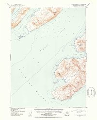
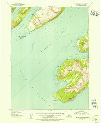
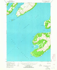
Editions of this 1953 Blying Sound D-3 Map
6 editions found
Other maps of this area

1946 · Blying Sound
USGS Topo · 1:250,000

1950 · Blying Sound D-4
USGS Topo · 1:63,360

1951 · Blying Sound
USGS Topo · 1:250,000

1951 · Seward
USGS Topo · 1:250,000

1951 · Seward A-2
USGS Topo · 1:63,360

1951 · Seward A-3
USGS Topo · 1:63,360

1951 · Blying Sound D-1 and D-2
USGS Topo · 1:63,360

1951 · Seward A-4
USGS Topo · 1:63,360

1952 · Seward A-3
USGS Topo · 1:63,360

1952 · Seward A-4
USGS Topo · 1:63,360