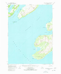
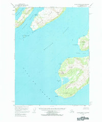
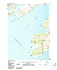
1953 Map of Blying Sound D-3
USGS Topo · Published 1977About this map
Latouche Island and the southwestern reaches of Montague Island dominate this coastal survey of the Kenai Peninsula region. At the time of this 1953 field annotation, the landscape remains largely defined by its maritime geography and isolated outposts like Cloud Cabin and a lone Cabin near Point Woodcock. The rugged interior is marked by significant elevations including Latouche Peak and Stair Mountain, while the jagged coastline is broken by sheltered waters such as Mac Leod Harbor and San Juan Bay. The presence of the Chugach National Forest underscores the protected, wild character of these islands. Navigational landmarks like the Light on Evans Island and the southern sentinel of Cape Cleare provide essential reference points for vessels traversing the Gulf of Alaska and the deep channels of Montague Strait.
Find a feature on this map
23 named features on this map. Tap any name to fly to it.
Don’t see what you’re looking for? This feature index may not catch every label — zoom into the map to look around manually.
Map Details
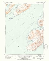
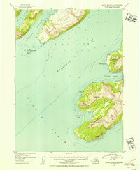
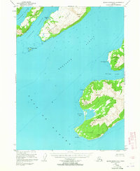
Editions of this 1953 Blying Sound D-3 Map
6 editions found
Other maps of this area

1946 · Blying Sound
USGS Topo · 1:250,000

1950 · Blying Sound D-4
USGS Topo · 1:63,360

1951 · Blying Sound
USGS Topo · 1:250,000

1951 · Seward
USGS Topo · 1:250,000

1951 · Seward A-2
USGS Topo · 1:63,360

1951 · Seward A-3
USGS Topo · 1:63,360

1951 · Blying Sound D-1 and D-2
USGS Topo · 1:63,360

1951 · Seward A-4
USGS Topo · 1:63,360

1952 · Seward A-3
USGS Topo · 1:63,360

1952 · Seward A-4
USGS Topo · 1:63,360