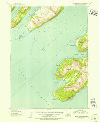
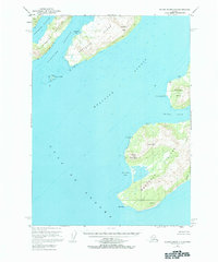
1953 Map of Blying Sound D-3
USGS Topo · Published 1954About this map
Montague Island dominates this maritime survey of the southern Kenai Peninsula coast, where the waters of the Gulf of Alaska meet the Prince William Sound entryway. The map illustrates a remote, coastal landscape within the Chugach National Forest before widespread modern development, marked only by isolated outposts like Cloud Cabin and a lone Cabin near Point Woodcock. The importance of seafaring navigation is evident in the detailed soundings and named coastal hazards like Danger Island. The interior terrain of Latouche Island is defined by the prominent Latouche Peak, while the southern tip of Montague Island rises to Stair Mountain before terminating at Cape Cleare. These landmarks, along with sheltered waters like Mac Leod Harbor and San Juan Bay, provide an essential look at the mid-century wilderness and maritime geography of this Alaska-Third Judicial Division quadrangle.
Find a feature on this map
22 named features on this map. Tap any name to fly to it.
Don’t see what you’re looking for? This feature index may not catch every label — zoom into the map to look around manually.
Map Details
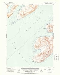
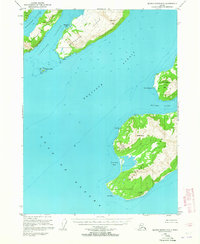
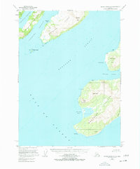
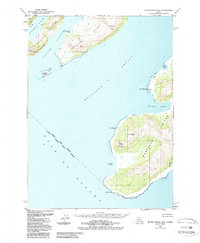
Editions of this 1953 Blying Sound D-3 Map
6 editions found
Other maps of this area

1946 · Blying Sound
USGS Topo · 1:250,000

1950 · Blying Sound D-4
USGS Topo · 1:63,360

1951 · Blying Sound
USGS Topo · 1:250,000

1951 · Seward
USGS Topo · 1:250,000

1951 · Seward A-2
USGS Topo · 1:63,360

1951 · Seward A-3
USGS Topo · 1:63,360

1951 · Blying Sound D-1 and D-2
USGS Topo · 1:63,360

1951 · Seward A-4
USGS Topo · 1:63,360

1952 · Seward A-3
USGS Topo · 1:63,360

1952 · Seward A-4
USGS Topo · 1:63,360