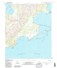
1951 Map of Blying Sound D-1 and D-2
USGS Topo · Published 1988About this map
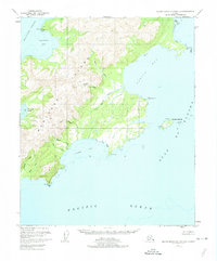
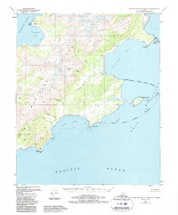
Montague Island dominates this 1950s coastal survey, showcasing a shoreline defined by deep inlets and sediment-heavy river systems. The eastern coast is punctuated by the significant waters of Patton Bay, where the Patton River and Nellie Martin River discharge into the sea. Evidence of seasonal or specialized activity is found in the scattered Cabins located near the river mouths and along the bay shores. The map captures the complex geography of the Kenai Peninsula's outer islands before major modern changes, including the notable Wooded Islands and the exposed southern tip at Cape Cleare. The drainage patterns of Braided Creek and Tortuous Creek illustrate the active glacial and alluvial processes shaping this landscape between the Gulf of Alaska and Montague Strait.
Find a feature on this map
28 named features on this map. Tap any name to fly to it.
Don’t see what you’re looking for? This feature index may not catch every label — zoom into the map to look around manually.
Map Details
Editions of this 1951 Blying Sound D-1 and D-2 Map
4 editions found
Other maps of this area

1946 · Blying Sound
USGS Topo · 1:250,000

1951 · Blying Sound
USGS Topo · 1:250,000

1951 · Seward
USGS Topo · 1:250,000

1951 · Seward A-2
USGS Topo · 1:63,360

1951 · Seward A-3
USGS Topo · 1:63,360

1951 · Blying Sound D-1 and D-2
USGS Topo · 1:63,360

1951 · Seward A-1
USGS Topo · 1:63,360

1952 · Seward A-3
USGS Topo · 1:63,360

1953 · Seward A-2
USGS Topo · 1:63,360

1953 · Seward A-1
USGS Topo · 1:63,360