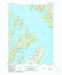
1951 Map of Seward A-3
USGS Topo · Published 1988About this map
Latouche Island and the surrounding Prince William Sound waterways appear here in a compilation reflecting maritime and industrial activity through the late twentieth century. The settlement of Latouche serves as a focal point for the region's mining history, specifically marking the Beatson Mine and Blackbird Mine near Mount Beatson. These industrial sites are situated along the eastern shore of Latouche Passage, a critical waterway for the transport of ore and supplies.
Find a feature on this map
54 named features on this map. Tap any name to fly to it.
Don’t see what you’re looking for? This feature index may not catch every label — zoom into the map to look around manually.
Map Details
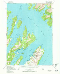
Editions of this 1951 Seward A-3 Map
3 editions found
Other maps of this area

1946 · Blying Sound
USGS Topo · 1:250,000

1950 · Seward B-3
USGS Topo · 1:63,360

1950 · Blying Sound D-4
USGS Topo · 1:63,360

1951 · Blying Sound
USGS Topo · 1:250,000

1951 · Seward
USGS Topo · 1:250,000

1951 · Seward A-2
USGS Topo · 1:63,360

1951 · Seward B-4
USGS Topo · 1:63,360

1951 · Seward A-3
USGS Topo · 1:63,360

1951 · Blying Sound D-1 and D-2
USGS Topo · 1:63,360

1951 · Seward A-4
USGS Topo · 1:63,360