
1951 Map of Seward A-5
USGS Topo · Published 1965About this map
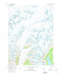
The Sargent Ice Field dominates this 1951 landscape, serving as the high-altitude source for a massive network of glaciers that descend toward the coast. This survey, compiled from 1950 aerial photography, reveals the immense glacial flow of the Ellsworth Glacier, Chenega Glacier, and Puget Glacier as they carve through the Chugach National Forest. The map provides a precise record of glacial extents and crevasses during the mid-century, a period before significant modern recession. Notable landmarks like Pinnacle Mountain and the Seward Base Line provide fixed points for navigation through this ice-dominated terrain. In the south, the Excelsior Glacier feeds into Excelsior Lake, while the waters of Puget Bay mark the transition from glacial ice to the open sea. This document is essential for understanding the geomorphology of the Kenai Peninsula before contemporary environmental shifts.
Find a feature on this map
12 named features on this map. Tap any name to fly to it.
Don’t see what you’re looking for? This feature index may not catch every label — zoom into the map to look around manually.
Map Details
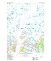
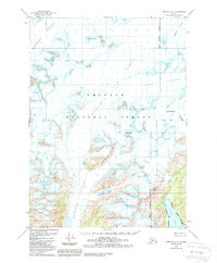
Editions of this 1951 Seward A-5 Map
4 editions found
Other maps of this area

1946 · Blying Sound
USGS Topo · 1:250,000

1950 · Seward A-6
USGS Topo · 1:63,360

1950 · Blying Sound D-6
USGS Topo · 1:63,360

1950 · Blying Sound D-4
USGS Topo · 1:63,360

1950 · Blying Sound D-5
USGS Topo · 1:63,360

1951 · Blying Sound
USGS Topo · 1:250,000

1951 · Seward
USGS Topo · 1:250,000

1951 · Seward A-6
USGS Topo · 1:63,360

1951 · Seward B-4
USGS Topo · 1:63,360

1951 · Seward B-6
USGS Topo · 1:63,360