
1950 Map of Blying Sound D-6
USGS Topo · Published 1967About this map
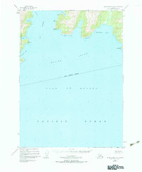
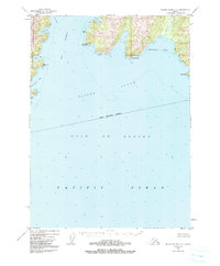
The Resurrection Peninsula forms the western boundary of this coastal survey, where the waters of Day Harbor and Blying Sound meet the open Gulf of Alaska. Mapping of the coastline reveals a series of sheltered inlets and dramatic headlands, including the protected Safety Cove and the prominent Cape Mansfield. The landscape is defined by its maritime exposure, with land landward of the sound rising into named high points like Chimney and Pyramid.
Find a feature on this map
20 named features on this map. Tap any name to fly to it.
Don’t see what you’re looking for? This feature index may not catch every label — zoom into the map to look around manually.
Map Details
Editions of this 1950 Blying Sound D-6 Map
3 editions found
Other maps of this area

1946 · Blying Sound
USGS Topo · 1:250,000

1950 · Seward A-6
USGS Topo · 1:63,360

1950 · Blying Sound D-7
USGS Topo · 1:63,360

1950 · Seward A-7
USGS Topo · 1:63,360

1950 · Blying Sound D-5
USGS Topo · 1:63,360

1951 · Blying Sound
USGS Topo · 1:250,000

1951 · Seward
USGS Topo · 1:250,000

1951 · Seward A-6
USGS Topo · 1:63,360

1951 · Seward A-7
USGS Topo · 1:63,360

1951 · Seward A-5
USGS Topo · 1:63,360