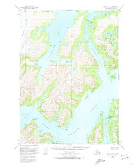
1951 Map of Seward C-4
USGS Topo · Published 1974About this map
The Port Nellie Juan shoreline and the surrounding intricate fjords of western Prince William Sound define this 1951 topographic survey. Industrial activity is centered at the Port Nellie Juan Cannery, a remote outpost marking the intersection of the maritime economy and the glacial landscape. The coastal terrain is defined by deep incisions like Cochrane Bay and McClure Bay, while the interior of the mainland and Culross Island is dotted with alpine water bodies such as Lake Shrode and Lake Jack. Human presence is sparse, indicated primarily by the cannery and a isolated Shelter Cabin near the shoreline. To the northwest, the massive Tebenkof Glacier descends toward the sea, leaving a broad Tidal Flat in its wake, illustrating the dynamic glacial recession occurring mid-century.
Find a feature on this map
25 named features on this map. Tap any name to fly to it.
Don’t see what you’re looking for? This feature index may not catch every label — zoom into the map to look around manually.
Map Details
Editions of this 1951 Seward C-4 Map
3 editions found
Other maps of this area

1950 · Seward B-3
USGS Topo · 1:63,360

1951 · Seward
USGS Topo · 1:250,000

1951 · Seward D-5
USGS Topo · 1:63,360

1951 · Seward B-4
USGS Topo · 1:63,360

1951 · Seward C-5
USGS Topo · 1:63,360

1951 · Seward D-4
USGS Topo · 1:63,360

1951 · Seward B-5
USGS Topo · 1:63,360

1951 · Seward D-3
USGS Topo · 1:63,360

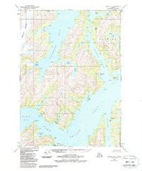
1951 · Seward C-4
USGS Topo · 1:63,360

1951 · Seward C-3
USGS Topo · 1:63,360