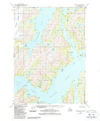
1951 Map of Seward C-4
USGS Topo · Published 1988About this map
Port Nellie Juan sits at the edge of this intricate coastal landscape within the Chugach National Forest. The map documents a rugged maritime environment defined by the presence of Mines along the northern reaches of Culross Island and Culross Bay, indicating early 20th-century resource extraction in the Sound. Deep glacial carvings are evident at the Tebenkof Glacier, which feeds into the western waters, while isolated freshwater bodies like Lake Shrode and Lake Jack occupy the interiors of the mainland peninsula.
Find a feature on this map
27 named features on this map. Tap any name to fly to it.
Don’t see what you’re looking for? This feature index may not catch every label — zoom into the map to look around manually.
Map Details
Editions of this 1951 Seward C-4 Map
3 editions found
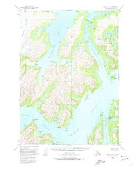
Other maps of this area

1950 · Seward B-3
USGS Topo · 1:63,360

1951 · Seward
USGS Topo · 1:250,000

1951 · Seward D-5
USGS Topo · 1:63,360

1951 · Seward B-4
USGS Topo · 1:63,360

1951 · Seward C-5
USGS Topo · 1:63,360

1951 · Seward D-4
USGS Topo · 1:63,360

1951 · Seward B-5
USGS Topo · 1:63,360

1951 · Seward D-3
USGS Topo · 1:63,360

1951 · Seward C-4
USGS Topo · 1:63,360

1951 · Seward C-3
USGS Topo · 1:63,360