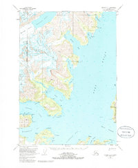
1951 Map of Seward D-4
USGS Topo · Published 1986About this map
Harriman Fiord and its surrounding tidal glaciers dominate this mid-century maritime study of the Prince William Sound region. The map documents an era of active mining and seasonal coastal industry, featuring the Lansing Mine and Granite Mine alongside scattered Cabins that served as remote outposts. Navigational landmarks like the Pt Pigot Light and various Vabm survey points illustrate the effort to chart these complex waterways, including Wells Passage and Cochrane Bay. The terrain is defined by massive ice flows such as the Harriman Glacier, Bettles Glacier, and Pigot Glacier, which carve the landscape of the Chugach National Forest. The presence of Logging Camp Bay suggests the resource-based economy of the Greater Anchorage Area Borough at the time the data was field-annotated in the early 1950s.
Find a feature on this map
51 named features on this map. Tap any name to fly to it.
Don’t see what you’re looking for? This feature index may not catch every label — zoom into the map to look around manually.
Map Details
Editions of this 1951 Seward D-4 Map
5 editions found
Other maps of this area

1951 · Seward
USGS Topo · 1:250,000

1951 · Anchorage
USGS Topo · 1:250,000

1951 · Seward D-5
USGS Topo · 1:63,360

1951 · Seward C-5
USGS Topo · 1:63,360

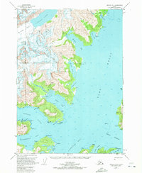
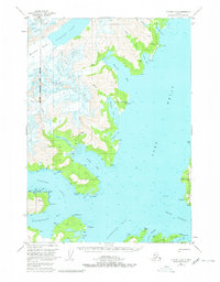
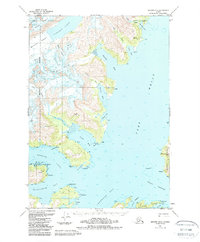
1951 · Seward D-4
USGS Topo · 1:63,360

1951 · Seward D-3
USGS Topo · 1:63,360

1951 · Seward C-4
USGS Topo · 1:63,360

1951 · Seward C-3
USGS Topo · 1:63,360

1952 · Seward D-5
USGS Topo · 1:63,360

1952 · Seward D-3
USGS Topo · 1:63,360