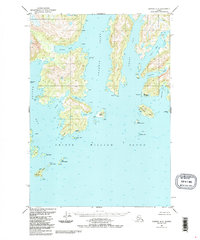
1951 Map of Seward D-2
USGS Topo · Published 1988About this map
The coastal waters of Prince William Sound define this reach of the Alaskan shoreline, where deep fjords like Unakwik Inlet and Wells Bay carve into the mainland. The small settlement of Kiniklik sits near the mouth of the bay, protected by Kiniklik Island and the prominent Pt Pellew. This 1951 survey, with revisions through the 1980s, documents a landscape reliant on maritime navigation, noted by the Seaplane Anchorage near Fairmount Pt and several Cabin and Cabins locations tucked into remote coves.
Find a feature on this map
52 named features on this map. Tap any name to fly to it.
Don’t see what you’re looking for? This feature index may not catch every label — zoom into the map to look around manually.
Map Details
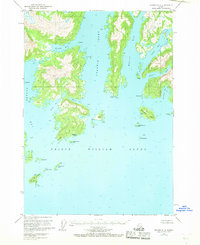
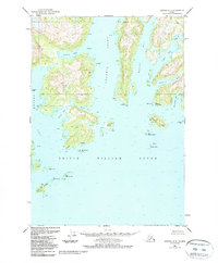
Editions of this 1951 Seward D-2 Map
4 editions found
Other maps of this area

1951 · Seward
USGS Topo · 1:250,000

1951 · Anchorage
USGS Topo · 1:250,000

1951 · Seward D-2
USGS Topo · 1:63,360

1951 · Seward D-1
USGS Topo · 1:63,360

1951 · Seward D-3
USGS Topo · 1:63,360

1951 · Seward C-1
USGS Topo · 1:63,360

1951 · Seward C-3
USGS Topo · 1:63,360

1951 · Seward C-2
USGS Topo · 1:63,360

1952 · Seward C-1
USGS Topo · 1:63,360

1952 · Seward D-1
USGS Topo · 1:63,360