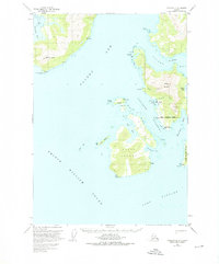
1951 Map of Cordova D-8
USGS Topo · Published 1976About this map
Ellamar and Tatitlek serve as the primary hubs for this maritime landscape along the Valdez Arm and Prince William Sound. The map illustrates a coastline defined by industrial and transportation activity in the mid-20th century, notably featuring the Wagner Mine and Rua Mine located on the slopes of Ellamar Mountain. The waters of Galena Bay and Port Fidalgo surround large landforms like Bligh Island, while the presence of a Seaplane Base near Virgin Bay highlights the era's reliance on air and sea travel for connectivity. Cultural markers including a Cem near the Tatitlek Narrows and various Cabin sites provide key points of interest for genealogists tracing local families or early coastal settlements.
Find a feature on this map
34 named features on this map. Tap any name to fly to it.
Don’t see what you’re looking for? This feature index may not catch every label — zoom into the map to look around manually.
Map Details
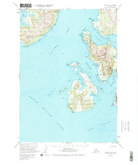
Editions of this 1951 Cordova D-8 Map
3 editions found
Other maps of this area

1948 · Cordova
USGS Topo · 1:250,000

1950 · Cordova C-7
USGS Topo · 1:63,360

1950 · Cordova D-7
USGS Topo · 1:63,360

1950 · Cordova C-8
USGS Topo · 1:63,360

1951 · Seward
USGS Topo · 1:250,000

1951 · Anchorage
USGS Topo · 1:250,000

1951 · Cordova
USGS Topo · 1:250,000

1951 · Seward D-1
USGS Topo · 1:63,360

1951 · Cordova D-8
USGS Topo · 1:63,360

1951 · Seward C-1
USGS Topo · 1:63,360