
1950 Map of Cordova D-7
USGS Topo · Published 1966About this map
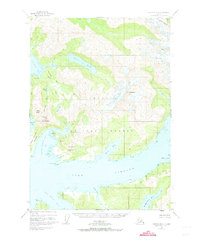
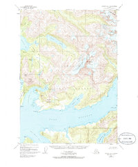
Silver Glacier dominates the central high ground of this landscape within the Chugach National Forest, descending toward the intricate coastal inlets of Prince William Sound. The topography recorded in 1950 reveals a complex glacial and marine environment where heavy ice fields like those at Mt Denson and the adjacent Crevasses feed into a network of freshwater and saltwater bodies. Notable among these are the expansive Silver Lake and the sheltered The Lagoon tucked behind Galena Bay.
Find a feature on this map
37 named features on this map. Tap any name to fly to it.
Don’t see what you’re looking for? This feature index may not catch every label — zoom into the map to look around manually.
Map Details
Editions of this 1950 Cordova D-7 Map
3 editions found
Other maps of this area

1948 · Cordova
USGS Topo · 1:250,000

1950 · Cordova C-7
USGS Topo · 1:63,360

1950 · Cordova C-6
USGS Topo · 1:63,360

1950 · Cordova C-8
USGS Topo · 1:63,360

1951 · Cordova
USGS Topo · 1:250,000

1951 · Cordova D-8
USGS Topo · 1:63,360

1951 · Cordova D-6
USGS Topo · 1:63,360

1951 · Valdez A-6
USGS Topo · 1:63,360

1952 · Valdez
USGS Topo · 1:250,000

1952 · Cordova D-8
USGS Topo · 1:63,360