
1951 Map of Cordova D-6
USGS Topo · Published 1966About this map
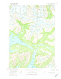
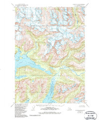
Chugach National Forest land dominates this remote coastal survey, where the glacial and maritime environments of the Prince William Sound region meet. The intricate shoreline is defined by deep inlets including Port Fidalgo and several smaller indentations like Beartrap Bay and Whalen Bay. The landscape is one of extreme vertical relief, rising from sea level to the heights of Meteorite Mtn. This topographic record, compiled from 1950 aerial photography, captures a wilderness shaped by active glaciers, such as Solomon Gl, and extensive ice fields marked by numerous Crevasses. The drainage patterns of the Gravina River and Brown Creek illustrate the path of glacial meltwater through the Brown Basin and out toward Olsen Bay.
Find a feature on this map
13 named features on this map. Tap any name to fly to it.
Don’t see what you’re looking for? This feature index may not catch every label — zoom into the map to look around manually.
Map Details
Editions of this 1951 Cordova D-6 Map
3 editions found
Other maps of this area

1948 · Cordova
USGS Topo · 1:250,000

1950 · Cordova C-7
USGS Topo · 1:63,360

1950 · Cordova C-6
USGS Topo · 1:63,360

1950 · Cordova D-7
USGS Topo · 1:63,360

1950 · Cordova D-5
USGS Topo · 1:63,360

1951 · Cordova
USGS Topo · 1:250,000

1951 · Cordova C-5
USGS Topo · 1:63,360

1951 · Valdez A-6
USGS Topo · 1:63,360

1952 · Valdez
USGS Topo · 1:250,000

1952 · Cordova D-7
USGS Topo · 1:63,360