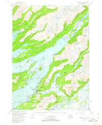
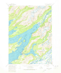
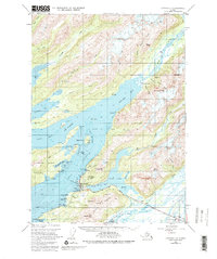
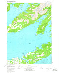
1951 Map of Cordova C-5
USGS Topo · Published 1962About this map
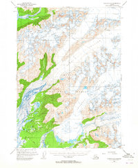
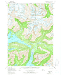
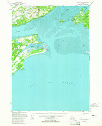
Cordova serves as the focal point of this coastal survey, situated between the intricate Odiak Channel and the expansive Eyak Lake. The settlement is detailed with local infrastructure including a Cem, a Landing Strip, and Odiak Slough. The coastal economy of the early 1950s is evident through the presence of the Eyak Cannery and a secondary Cannery located further north at Orca.
Find a feature on this map
69 named features on this map. Tap any name to fly to it.
Don’t see what you’re looking for? This feature index may not catch every label — zoom into the map to look around manually.
Map Details
Editions of this 1951 Cordova C-5 Map
4 editions found

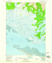
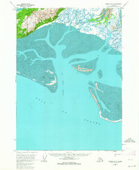
Other maps of this area

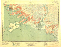
1948 · Cordova
USGS Topo · 1:250,000
1950 · Cordova C-6
USGS Topo · 1:63,360
1950 · Cordova C-4
USGS Topo · 1:63,360

1950 · Cordova D-5
USGS Topo · 1:63,360
1951 · Cordova
USGS Topo · 1:250,000
1951 · Cordova B-4
USGS Topo · 1:63,360
1951 · Cordova B-5
USGS Topo · 1:63,360
1951 · Cordova D-6
USGS Topo · 1:63,360

1951 · Cordova D-4
USGS Topo · 1:63,360
1951 · Cordova B-6
USGS Topo · 1:63,360