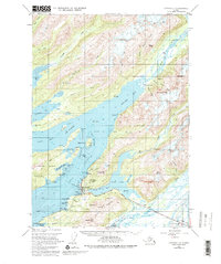
1951 Map of Cordova C-5
USGS Topo · Published 1980About this map
Cordova serves as the focal point of this coastal survey, situated where the Heney Range meets the intricate waterways of Orca Inlet. The map details a landscape defined by its maritime and aviation infrastructure during the early 1950s, featuring a landing strip, seaplane base, and multiple docks that supported the local economy. Beyond the town center, the terrain is dominated by significant elevations such as Mt Eyak and Snyder Mtn, while the Copper River Highway begins its trek eastward toward the river delta.
Find a feature on this map
83 named features on this map. Tap any name to fly to it.
Don’t see what you’re looking for? This feature index may not catch every label — zoom into the map to look around manually.
Map Details
Editions of this 1951 Cordova C-5 Map
4 editions found
Other maps of this area

1948 · Cordova
USGS Topo · 1:250,000

1950 · Cordova C-6
USGS Topo · 1:63,360

1950 · Cordova C-4
USGS Topo · 1:63,360

1950 · Cordova D-5
USGS Topo · 1:63,360

1951 · Cordova
USGS Topo · 1:250,000

1951 · Cordova B-4
USGS Topo · 1:63,360

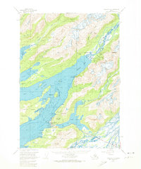
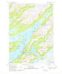
1951 · Cordova C-5
USGS Topo · 1:63,360

1951 · Cordova B-5
USGS Topo · 1:63,360

1951 · Cordova D-6
USGS Topo · 1:63,360

1951 · Cordova D-4
USGS Topo · 1:63,360