
1951 Map of Cordova B-4
USGS Topo · Published 1960About this map
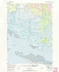
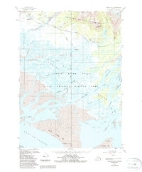
The Copper River delta dominates this coastal landscape, showing an intricate network of glacial runoff and tidal influence as it met the Gulf of Alaska in the early 1950s. The terrain is defined by a labyrinth of waterways, including Glacier Slough, Alaganik Slough, and Pete Dahl Slough, which weave through silty tidal flats and large landforms like Castle Island. Near the settlement of Alaganik, the presence of a Cem and Pipeline Lake suggests the footprint of earlier infrastructure along the coastal corridor.
Find a feature on this map
30 named features on this map. Tap any name to fly to it.
Don’t see what you’re looking for? This feature index may not catch every label — zoom into the map to look around manually.
Map Details
Editions of this 1951 Cordova B-4 Map
3 editions found
Other maps of this area

1948 · Cordova
USGS Topo · 1:250,000

1950 · Cordova C-4
USGS Topo · 1:63,360

1951 · Cordova
USGS Topo · 1:250,000

1951 · Cordova C-5
USGS Topo · 1:63,360

1951 · Cordova B-5
USGS Topo · 1:63,360

1951 · Cordova C-3
USGS Topo · 1:63,360

1952 · Cordova B-3
USGS Topo · 1:63,360

1953 · Cordova B-5
USGS Topo · 1:63,360

1953 · Cordova C-3
USGS Topo · 1:63,360

1953 · Cordova C-4
USGS Topo · 1:63,360