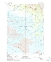
1951 Map of Cordova B-4
USGS Topo · Published 1988About this map
Chugach National Forest encompasses the northern reaches of this coastal landscape, where the Copper River meets the Gulf of Alaska. This 1951 survey, revised in the 1980s, reveals a complex network of glacial meltwater and tidal channels within the Copper River Delta State Critical Habitat Area. Transportation is anchored by the Cordova Mile 13 Airport and the Copper River Highway, which provides access to the historic settlement of Alaganik.
Find a feature on this map
38 named features on this map. Tap any name to fly to it.
Don’t see what you’re looking for? This feature index may not catch every label — zoom into the map to look around manually.
Map Details
Editions of this 1951 Cordova B-4 Map
3 editions found
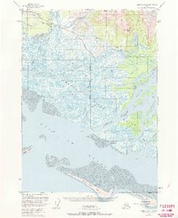
Other maps of this area

1948 · Cordova
USGS Topo · 1:250,000

1950 · Cordova C-4
USGS Topo · 1:63,360

1951 · Cordova
USGS Topo · 1:250,000

1951 · Cordova B-4
USGS Topo · 1:63,360

1951 · Cordova C-5
USGS Topo · 1:63,360

1951 · Cordova B-5
USGS Topo · 1:63,360

1951 · Cordova C-3
USGS Topo · 1:63,360

1952 · Cordova B-3
USGS Topo · 1:63,360

1953 · Cordova B-5
USGS Topo · 1:63,360

1953 · Cordova C-3
USGS Topo · 1:63,360