
1950 Map of Cordova C-6
USGS Topo · Published 1964About this map
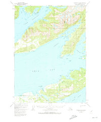
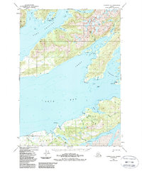
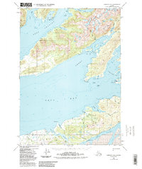
Hawkins Island dominates the southern landscape of this 1950 coastal survey, separated from the mainland by the intricate waters of Canoe Passage. The map documents a complex coastline where the glacial waters of Orca Bay meet deep inlets like Sheep Bay and Simpson Bay. Inland, the terrain is defined by dramatic elevations and drainage systems such as Sahlin Creek flowing from Sahlin Lake into Sahlin Lagoon.
Find a feature on this map
49 named features on this map. Tap any name to fly to it.
Don’t see what you’re looking for? This feature index may not catch every label — zoom into the map to look around manually.
Map Details
Editions of this 1950 Cordova C-6 Map
4 editions found
Other maps of this area

1948 · Cordova
USGS Topo · 1:250,000

1950 · Cordova C-7
USGS Topo · 1:63,360

1950 · Cordova B-7
USGS Topo · 1:63,360

1950 · Cordova D-7
USGS Topo · 1:63,360

1950 · Cordova D-5
USGS Topo · 1:63,360

1951 · Cordova
USGS Topo · 1:250,000

1951 · Cordova C-5
USGS Topo · 1:63,360

1951 · Cordova B-5
USGS Topo · 1:63,360

1951 · Cordova D-6
USGS Topo · 1:63,360

1951 · Cordova B-6
USGS Topo · 1:63,360