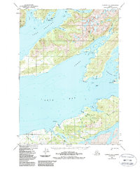
1950 Map of Cordova C-6
USGS Topo · Published 1988About this map
Port Gravina and the intricate coastal waters of the Chugach National Forest dominate this 1950s-era topographical study. The map documents the complex shoreline of eastern Prince William Sound, where deep glacial fjords like Sheep Bay and Simpson Bay cut into the mountainous landscape. The geography is defined by a dense network of salmon-supporting waterways, including the Sheep River, Sahlin Creek, and the notable Sahlin Falls.
Find a feature on this map
38 named features on this map. Tap any name to fly to it.
Don’t see what you’re looking for? This feature index may not catch every label — zoom into the map to look around manually.
Map Details
Editions of this 1950 Cordova C-6 Map
4 editions found
Other maps of this area

1948 · Cordova
USGS Topo · 1:250,000

1950 · Cordova C-7
USGS Topo · 1:63,360

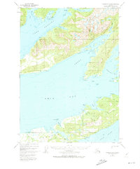
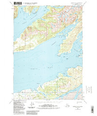
1950 · Cordova C-6
USGS Topo · 1:63,360

1950 · Cordova B-7
USGS Topo · 1:63,360

1950 · Cordova D-7
USGS Topo · 1:63,360

1950 · Cordova D-5
USGS Topo · 1:63,360

1951 · Cordova
USGS Topo · 1:250,000

1951 · Cordova C-5
USGS Topo · 1:63,360

1951 · Cordova B-5
USGS Topo · 1:63,360

1951 · Cordova D-6
USGS Topo · 1:63,360