
1950 Map of Cordova B-7
USGS Topo · Published 1965About this map
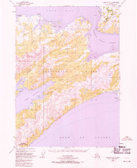
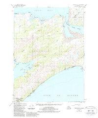
Nuchek serves as a primary point of human settlement on the southern coast of Hinchinbrook Island, situated at the entrance to Constantine Harbor. This 1950 survey highlights the complex maritime geography of Prince William Sound, where Hawkins Island is separated from its neighbor by the narrow Hawkins Cutoff. The landscape is defined by its deep-water inlets and numerous coves, including Anderson Bay and Double Bay along Orca Bay to the north. Navigational aids like the Light at Johnstone Pt underscore the area's importance to coastal traffic. To the south, the island gives way to Port Etches and eventually the open waters of the Gulf of Alaska. Dozens of smaller drainages such as Honker Creek, Dan Creek, and Eagle Creek carve through the interior terrain, feeding into the sheltered bays that provided vital harbor for early residents and mariners.
Find a feature on this map
34 named features on this map. Tap any name to fly to it.
Don’t see what you’re looking for? This feature index may not catch every label — zoom into the map to look around manually.
Map Details
Editions of this 1950 Cordova B-7 Map
3 editions found
Other maps of this area

1948 · Cordova
USGS Topo · 1:250,000

1950 · Cordova C-7
USGS Topo · 1:63,360

1950 · Cordova C-6
USGS Topo · 1:63,360

1950 · Cordova C-8
USGS Topo · 1:63,360

1951 · Cordova
USGS Topo · 1:250,000

1951 · Cordova B-8
USGS Topo · 1:63,360
1951 · Cordova A-7 and A-8
USGS Topo · 1:63,360

1951 · Cordova B-6
USGS Topo · 1:63,360

1952 · Cordova C-8
USGS Topo · 1:63,360

1953 · Cordova C-6
USGS Topo · 1:63,360