
1950 Map of Cordova C-7
USGS Topo · Published 1964About this map
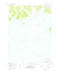
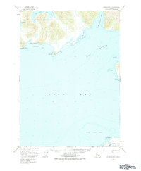
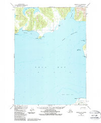
Port Gravina and the northern reaches of Orca Bay dominate this coastal survey, where the intricate shoreline of Prince William Sound meets the dense timber of the Chugach National Forest. The map documents a maritime landscape defined by its deep inlets and hazardous shoals as they were charted in the mid-20th century. Notable coastal features like Two Moon Bay and St Matthews Bay provide natural harbors, while the jagged coastline is marked by landmarks such as Knowles Head and Red Head. In the southeast, the tip of Hawkins Island appears near Makaka Pt, separated from the mainland by the sweeping waters of the sound. This 1950s data highlights the region's reliance on water navigation, as no roads or trails appear on the rugged landmasses, leaving the topography to dictate the character of this maritime wilderness.
Find a feature on this map
20 named features on this map. Tap any name to fly to it.
Don’t see what you’re looking for? This feature index may not catch every label — zoom into the map to look around manually.
Map Details
Editions of this 1950 Cordova C-7 Map
4 editions found
Other maps of this area

1948 · Cordova
USGS Topo · 1:250,000

1950 · Cordova C-6
USGS Topo · 1:63,360

1950 · Cordova B-7
USGS Topo · 1:63,360

1950 · Cordova D-7
USGS Topo · 1:63,360

1950 · Cordova C-8
USGS Topo · 1:63,360

1951 · Cordova
USGS Topo · 1:250,000

1951 · Cordova D-8
USGS Topo · 1:63,360

1951 · Cordova D-6
USGS Topo · 1:63,360

1951 · Cordova B-8
USGS Topo · 1:63,360

1951 · Cordova B-6
USGS Topo · 1:63,360